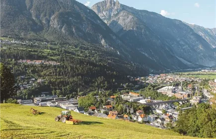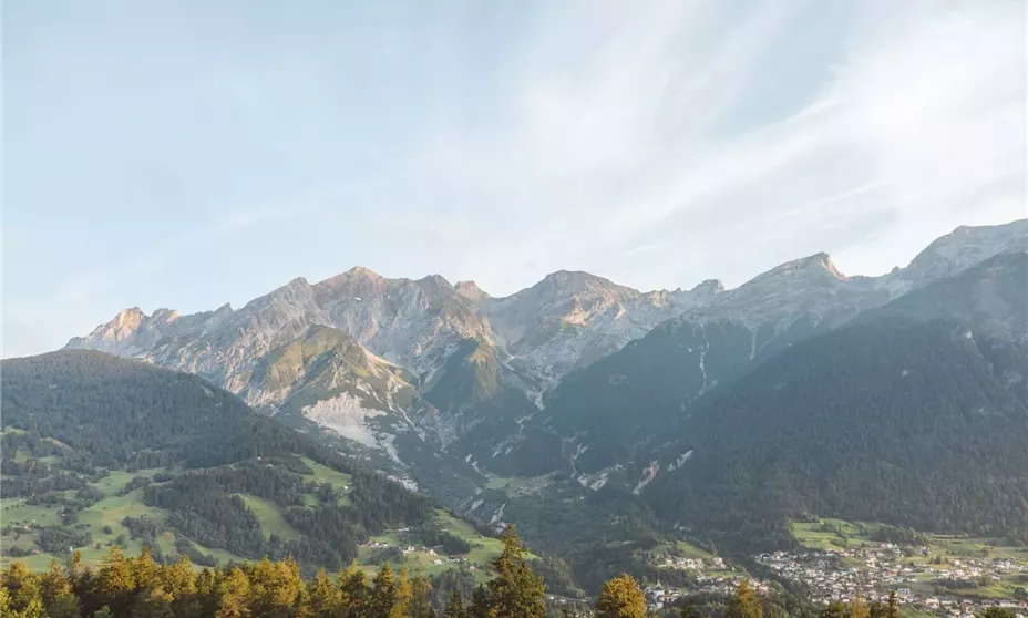
Fotopunkt Lechtaler Alpen
Description
Looking north, the view sweeps across the center of Tobadill toward the Lechtal Alps, dominated by the Parseierstock range, which—starting from the far west—includes the Dawinkopf (2,896 m), then the Parseierspitze itself (3,036 m), and the Gatschkopf (2,945 m) to the east. At the foot of the Gatschkopf, at an elevation of 2,298 m, lies the exposed Augsburger Hütte, which can be reached from the village of Grins below.