Burgenweg Landeck-Tobadill-Pians

Long-distance hiking

Long-Distance Hiking (from 5 stages)

Themed walks

Medium

14,70 km

705 m

05:30 h

Medium

Route

14,70 km

705 m

642 m

05:30 h

1253 m

Starting Point

Landeck Castle

End Point

Pians

Description

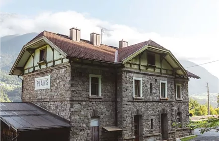
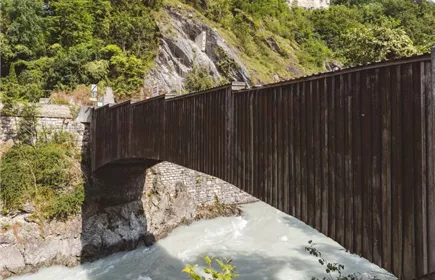
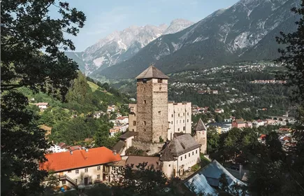
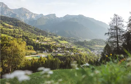
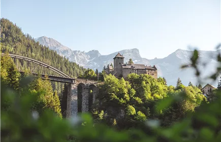
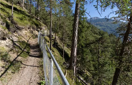
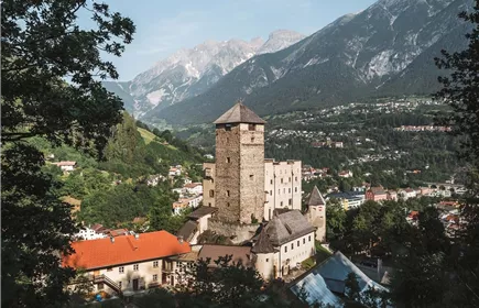
The starting point for this stage of the Castle Trail is once again Landeck Castle. From here, the trail first leads down into the town and then climbs through the Perfuchs district up to Tobadill. Along the way, hikers will climb a total of about 400 meters in elevation over several sections. From Tobadill, the trail now descends to Wiesberg Castle, which, together with the Arlberg Railway’s impressive Trisanna Bridge, forms a unique ensemble. There is currently no suitable connecting trail to Pians, so you’ll have to climb another 150 meters in elevation back to the hamlet of Burgfried. From there, the trail branches off and takes you down to Pians.
Best Season

Jan

Feb

Mar

Apr

May

Jun

Jul

Aug

Sep

Oct

Nov

Dec

Elevation Profile & Characteristics

Skill Level

Endurance

Amenities & Features

Multi-Day Tour Feature

Etappe

Public Transport

From the Landeck-Zams train station, take any VVT bus to the city center. From there, it’s about a 20-minute walk to the Landeck castle, or you can take bus line 2. Check the SCHEDULE.

Parking

Refreshments & infrastructure

Museum Galerie Schloss Landeck+43544263202

+13

Landeck

Museum Galerie Schloss Landeck

Closed - opens on 12/11, 01:00 PM

parseier_02.jpg
Schloss Wiesberg+43.5442.65600

Similar Tours

Obtarrenz_Salvesen-1.jpg
Section 5: Tarrenz - Nassereith

15,50 km

05:30 h

1519 m

840 m

828 m

Medium

Imst_Wetterkreuz-1-2.jpg
Section 4: Imst - Tarrenz

7,10 km

02:30 h

1063 m

298 m

252 m

Wandern_259_Gapp Rupert.jpg
Feueralb - trail Grins

4,60 km

02:00 h

1253 m

258 m

Medium

Württemberger Haus 2.220m
Zams - Württemberger Haus | 631

10,10 km

11:20 h

2221 m

1554 m

102 m

Medium

Museum Galerie Schloss Landeck
Section 1: Landeck Castle - Kronburg

7,30 km

02:30 h

974 m

220 m

134 m

Medium

Steinseehütte_001_Stadlwieser Rudolf_korrRJG.jpg
Alfutzalm - Steinseehütte

4,84 km

03:24 h

2048 m

814 m

47 m

Medium