Burgenweg Zams-Kronburg-Schönwies
Long-distance hiking
Long-Distance Hiking (from 5 stages)
Themed walks
Medium
12,30 km
330 m
03:45 h
Medium
Route
12,30 km
330 m
362 m
03:45 h
1046 m
Starting Point
Zams
End Point
Schönwies
Description
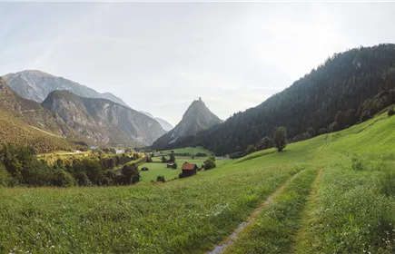
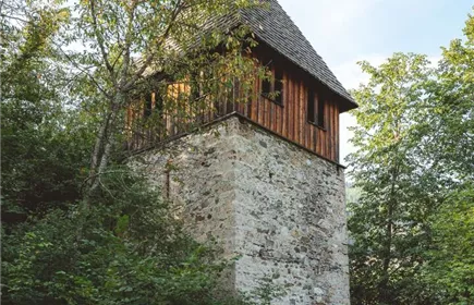
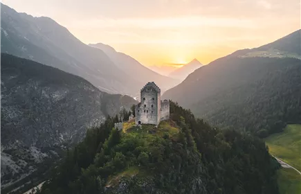
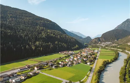
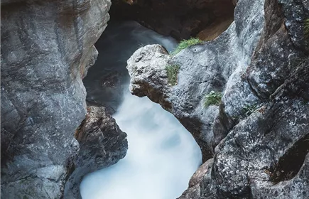
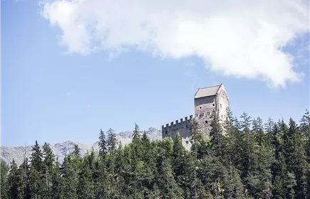
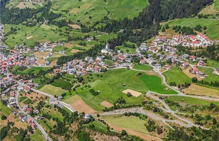
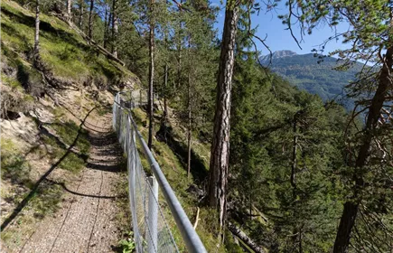
From Zammer Lochputz, the trail follows the bike path for a while along the valley floor toward the east. At the eastern edge of Zams, just past an underpass, the route branches off the bike path into the so-called Patscheid, from where the trail leads us up to the pilgrimage site of Kronburg. This is also where the entrance to the Kronburg ruins is located. From here, the route continues to the upper entrance of the unique Kronburg Gorge. Up to this point, this stage involves a pleasant climb of 250 meters in elevation. The trail then mostly follows contour lines eastward to the hamlet of Obsaurs, where we reach the easternmost point of the Burgenweg at the Roman Tower. At the end of this stage, the trail is now mostly downhill all the way to Schönwies.
Best Season
Jan
Feb
Mar
Apr
May
Jun
Jul
Aug
Sep
Oct
Nov
Dec
Elevation Profile & Characteristics
Skill Level
Endurance
Amenities & Features
Multi-Day Tour Feature
Etappe
Public Transport
From the Landeck-Zams train station, take Line 1 to the Lochputz stop. Check the SCHEDULE.
Impressions