E5 Alpin | Krahberg - Glanderspitze - Piller
Long-distance hiking
Long-Distance Hiking (from 5 stages)
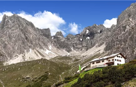
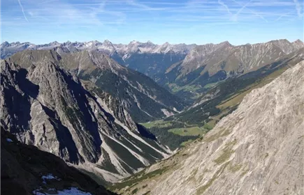
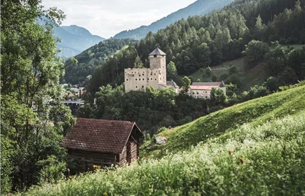
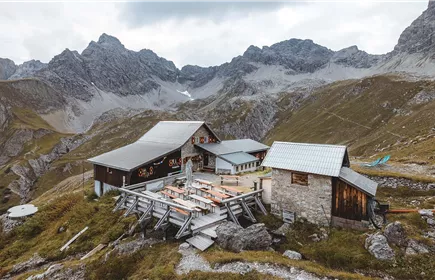
From the mountain station of the Venet cable car on the Krahberg 2,208 m, the tour leads along the Venet circular hiking trail via Glanderspitze 2,505 m), Kreuzjoch 2,464 m and Galflun Alm 1,961 m to Piller.
Medium
10,30 km
461 m
05:30 h
Medium
Route
10,30 km
461 m
1318 m
05:30 h
2505 m
Starting Point
Venetbahn Mountain Station
End Point
Piller
Description
After leaving the mountain station, follow the E5 signs up to the Glanderspitze. The trail then leads along the ridge to the Kreuzjoch, from where you take the descent down to the Galflun Alm. From there follow the signs "Piller E5 Variante" downhill to the village of Piller.
Best Season
Jan
Feb
Mar
Apr
May
Jun
Jul
Aug
Sep
Oct
Nov
Dec
Elevation Profile & Characteristics
Skill Level
Endurance
Amenities & Features
Multi-Day Tour Feature
Variante
Path Conditions
narrow trail, grassy slopes, forest road, paved road