E5 Variante | Krahberg - Gogles Alm - Wenns/Mittelberg
Long-distance hiking
Long-Distance Hiking (from 5 stages)
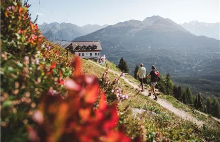
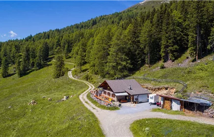
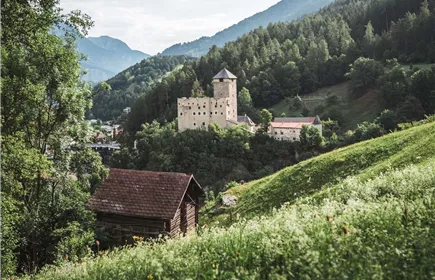
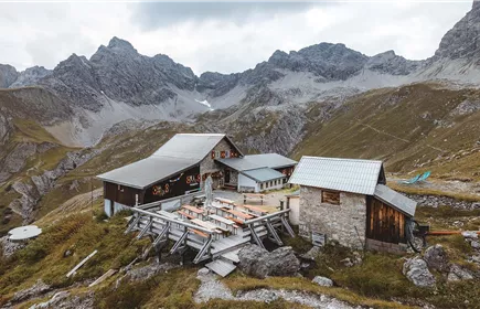
From the Venetbahn mountain station, the variant of the E5 leads via the Gogles Alm and the Larcher Alm down to Wenns in the Pitztal valley.
Medium
10,90 km
378 m
04:45 h
Medium
Route
10,90 km
378 m
1575 m
04:45 h
2508 m
Starting Point
Venetbahn Mountain Station
End Point
Wenns
Description
The variant of the E5 leads from the Venetbahn mountain station over to the Gogles Alm. From there you hike to the Larcher Alm (1,814m) and on into the Pitztal valley to Wenns. The village of Wenns is an ideal place to stay overnight, and the next morning you can take the No. 310 bus from Wenns to Mittelberg. If you still have enough time after arriving in Wenns, you can also take the bus to Mittelberg on the same day and look for a place to stay there.
Best Season
Jan
Feb
Mar
Apr
May
Jun
Jul
Aug
Sep
Oct
Nov
Dec
Elevation Profile & Characteristics
Skill Level
Endurance
Amenities & Features
Multi-Day Tour Feature
Variante
Path Conditions
narrow trail, grassy slopes, forest road, paved road
Public Transport
From the Landeck-Zams train station: Line 1 - Landeck-Zams City Bus
Impressions