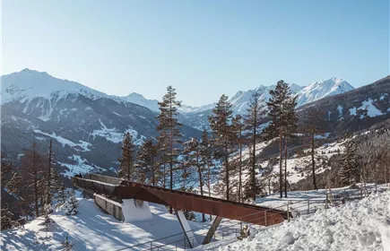
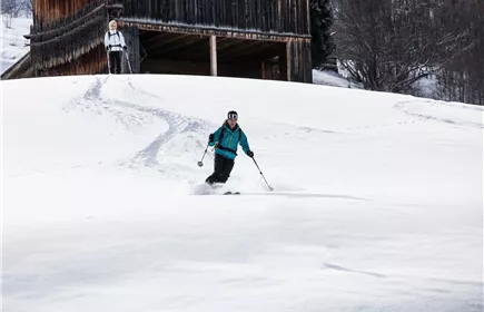
Flowing ski lodge
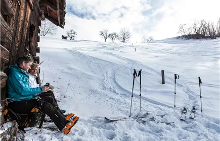
Snowshoe hiking
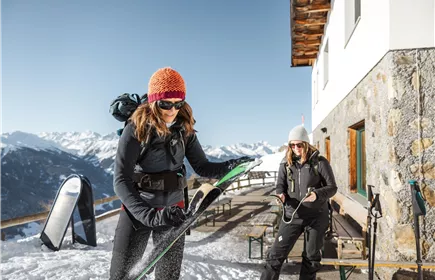
From the junction direction Gogler Alm go along the forest trail until the turnoff to the forest pond and then go to the Fließer ski hut.
Medium
5,80 km
415 m
03:30 h
Medium
Route
5,80 km
415 m
03:30 h
1880 m
Starting Point
parking lot turn-off for Gogles Alm
End Point
parking lot turn-off for Gogles Alm
Description
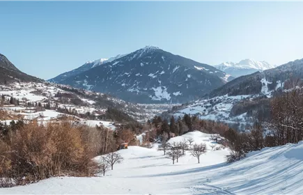
First, the tour leads through the forest towards Gogler way. After approx. 5 minutes follow the hiking trail with the number 6 to the upper level (Wasserhochehälter) After a short steep climb you will reach the Hochwiesen. From there it is not far (20min.) To the ski lodge. From there you have a magnificent view of the Samnaungruppe, the Kaunergrat, the Lechtaler Kalkalpen and the Inntal. Those who do not want to go back the same way, take the path through the Bifiweise (note: these meadows are very steep and are therefore insecure To avoid snow conditions) From the forest pond you come back through the forest to the starting point. Please do not go to feeding. Foreign traces / odors make the deer shy, which is reflected in the poor condition of the animals and damage in the forest.
This route is not signposted
This route is not signposted
Elevation Profile & Characteristics
Skill Level
Endurance
Parking
All the way to the parking lot at the turnoff to Gogles Alm.
Parking lot at the turnoff to Gogles Alm