Kajetan-bridge - Imst climbing center
Cycling tour
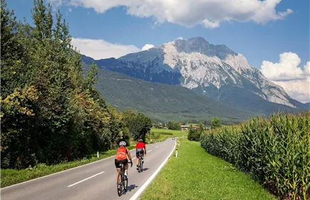
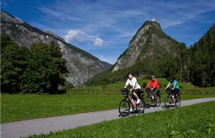
This bike tour follows the river Inn from the border crossing between Switzerland and Austria at the Kajetans-bridge in Pfunds to the climbing center in Imst.
Easy
57,90 km
86 m
Easy
Route
57,90 km
86 m
290 m
986 m
Starting Point
Kajetansbrücke
End Point
Kletterzentrum Imst
Description
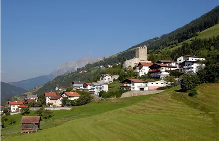
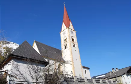
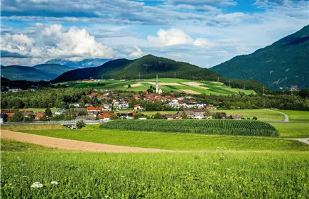
This section of the Tyrolean Inn Cycle Path leads directly from the Swiss border through lush meadows to the town of Pfunds, which has a Mediterranean feel due to its particularly narrow streets. The parish churches and chapels in Pfunds, Tösens and Prutz as well as Siegmundsried Castle bear witness to the nobility and jurisdiction and the area's name "Ober Gricht".
The town of Landeck lies in a sunny hollow and high above it is the "Landeck Castle", from which access to the Arlberg and Reschen Passes was once monitored. The lively district town of Landeck invites you to go for a stroll or a cultural excursion to Landeck Castle. Coming from the south, the Inn takes up the Sanna river in Landeck and still shows its wild, untamed face here. In Zams you can reach the mystical gorge "Zammer Lochputz". Further downstream is the town of Imst and the destination of this route with the Imst climbing center.
The cycle path runs mostly near the river, slightly hilly and steadily sloping.
The town of Landeck lies in a sunny hollow and high above it is the "Landeck Castle", from which access to the Arlberg and Reschen Passes was once monitored. The lively district town of Landeck invites you to go for a stroll or a cultural excursion to Landeck Castle. Coming from the south, the Inn takes up the Sanna river in Landeck and still shows its wild, untamed face here. In Zams you can reach the mystical gorge "Zammer Lochputz". Further downstream is the town of Imst and the destination of this route with the Imst climbing center.
The cycle path runs mostly near the river, slightly hilly and steadily sloping.
Elevation Profile & Characteristics
Skill Level
Endurance
Path Conditions
durchwegs asphaltierter Strecke