Landeck - Gogles Alm MTB 790/795
Mountainbike tour
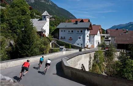
From Landeck parish church via the historic Via Claudia Augusta to Fließ (Route 790) and from there along Route 795 up to the Gogles Alm at 2,017 metres.
Medium
16,00 km
1280 m
04:15 h
Medium
Route
16,00 km
1280 m
70 m
04:15 h
2017 m
Starting Point
Schloss Landeck
End Point
Gogles Alm
Description
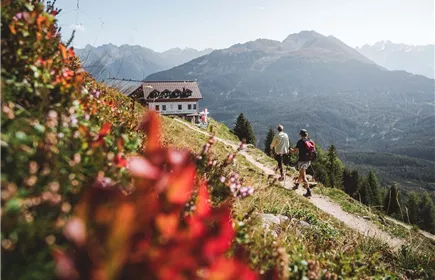
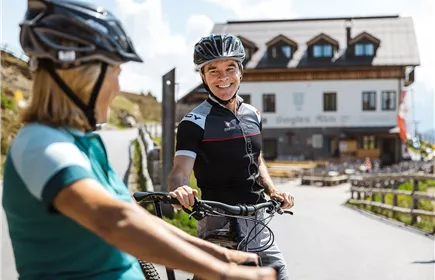
The route starts at Landeck parish church, leads up to Landeck Castle and follows the road past the shooting range onto a forest road. The forest road leads in four hairpin bends through the forest to the Fließer Platte. From there, the route leads along the slope through Eichholz to Fließ. From the historic village of Fließ, follow route 795 through the Schlosssiedlung up to Piller Straße. At the Gogles Alm junction, the trail turns left and leads along a forest road up to the Gogles Alm at 2,017 metres above sea level. The Gogles Alm is characterised by its magnificent views of the Kaunergrat Nature Park and the surrounding mountains.
A stop at the Gogles Alm is the culinary highlight of the tour. The dairy produces delicious milk and cheese products.
A stop at the Gogles Alm is the culinary highlight of the tour. The dairy produces delicious milk and cheese products.
Best Season
Jan
Feb
Mar
Apr
May
Jun
Jul
Aug
Sep
Oct
Nov
Dec
Elevation Profile & Characteristics
Skill Level
Endurance
Path Conditions
Asphalt, Forstweg, Waldweg