Landeck - Thialkopf - Hochgallmigg
Alpine Hiking
Hiking & mountain tour
Summit tour
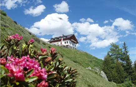
From Landeck via the Perfuchser ski hut up to the Thialkopf 2,398m. The trail leads down via Hochgallmigg back to Landeck.
Medium
19,80 km
1630 m
11:15 h
Medium
Route
19,80 km
1630 m
11:15 h
2398 m
Starting Point
Landeck Parish Church
End Point
Landeck Parish Church
Description
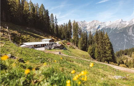
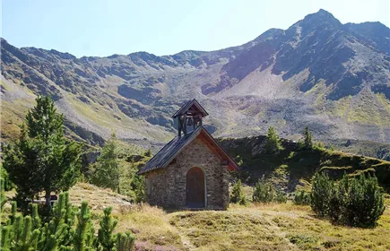
From Landeck parish church over the Gerberbrücke bridge up to Perfuchs. After the village fountain, turn left onto Hasliweg and follow the path up to the Perfuchs ski hut. From there, the trail leads up to the Zirmegg in many hairpin bends. After a rest at the Zirmegg chapel, you hike over the ridge up to the highest point of the tour, the Thialkopf. For the descent, the route via the Hochgallmigger Alm and Hochgallmigg is recommended, although the first section is a little rough due to the large boulders.
Best Season
Jan
Feb
Mar
Apr
May
Jun
Jul
Aug
Sep
Oct
Nov
Dec
Elevation Profile & Characteristics
Skill Level
Endurance
Amenities & Features
Circular hike
Path Conditions
Asphalt, forest road, trail
Public Transport
From the Landeck-Zams train station, take any VVT bus to the city center. From there, it’s about a 15–20-minute walk to the church, or you can take bus line 2 (Kirche stop). Check the SCHEDULE.
Parking
We recommend using the Landeck multi-day parking lot at Innstraße 44.
From the multi-day parking lot, it takes about 15–20 minutes to walk to Landeck City Church.
Alternatively, you can take bus line 2 from downtown Landeck to the church. Please check the SCHEDULE.
Landeck Long-Term parking lot at 44 Innstraße