Lechtaler Höhenweg: 6th stage: Württemberger Haus-Steinseehütte-Hanauer Hütte
Long-Distance Hiking (from 5 stages)
On the lonely heights between the Inn and Lech rivers
Hard
6,69 km
463 m
03:15 h
Hard
Route
6,69 km
463 m
631 m
03:15 h
2448 m
Starting Point
Württemberger Haus
End Point
Hanauer Hütte
Description
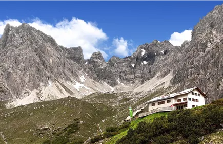
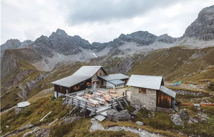
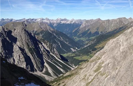
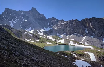
The nearby Gebäudjoch is soon reached. A view to the east reveals the Steinseehütte in the distance, which is only reached after a total of 4 hours of walking. The trail always remains on the southern slope of the main ridge. After overcoming the Roßkarschartl, the route descends comfortably to your destination.
Best Season
Jan
Feb
Mar
Apr
May
Jun
Jul
Aug
Sep
Oct
Nov
Dec
Elevation Profile & Characteristics
Skill Level
Endurance
Amenities & Features
Multi-Day Tour Feature
Etappe
Amenities
Good equipment is essential for your hike. The following items should definitely be in your rucksack:
- Food and drink - Functional clothing for rain, wind and cold - A change of clothes - Sun protection - First aid kit - Mobile phone with a full battery (Euro emergency number 112) - Hiking map or GPS - Hiking poles
Nevertheless, the following applies: light luggage is also easier to carry, so you should not weigh down your rucksack with unnecessary ballast. In addition, your hiking equipment should of course also be adapted to your particular hiking tour.
- Food and drink - Functional clothing for rain, wind and cold - A change of clothes - Sun protection - First aid kit - Mobile phone with a full battery (Euro emergency number 112) - Hiking map or GPS - Hiking poles
Nevertheless, the following applies: light luggage is also easier to carry, so you should not weigh down your rucksack with unnecessary ballast. In addition, your hiking equipment should of course also be adapted to your particular hiking tour.
Path Conditions
Mountain path
Parking
Regiobus