Schlosswald-trail Tobadill
Leisure and Recreational Hiking
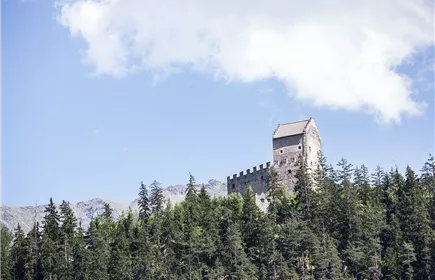
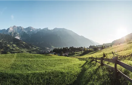
From Tobadill the path leads you down to Burgfried with wonderful views, then further though the forest to Wiesle and Badstube and back to your starting point.
Medium
2,60 km
165 m
01:30 h
Medium
Route
2,60 km
165 m
01:30 h
1070 m
Starting Point
Tobadill - Burgfried
End Point
Tobadill - Wiesle
Important Information
The path is difficult to walk on.
Description
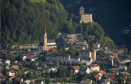
Starting at the church in Tobadill you head west for about 1.5 km towards Wiesberg castle until you reach Weiler Burgfried. There you turn left and get to the Schlosswald trail after about 100 m. This trail is marked “Wiesle-Schlosswaldsteig“ (Weg 22a) and leads you to Weiler Wiesle after 2 km. Once you get to Wiesle, stay left and head up towards “Badstube – Tobadill“ (Weg 22). You’ll reach Badstube after about 450 m. You’ll get back to the starting point at the church by following the signage (Weg 22) for about 3 km.
Best Season
Jan
Feb
Mar
Apr
May
Jun
Jul
Aug
Sep
Oct
Nov
Dec
Elevation Profile & Characteristics
Skill Level
Endurance
Path Conditions
Asphalt, trail