Medium
Route
10,40 km
463 m
547 m
04:00 h
1035 m
Starting Point
Mils bei Imst
End Point
Imst town centre
Description
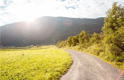
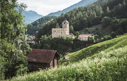
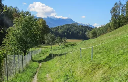
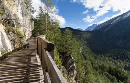
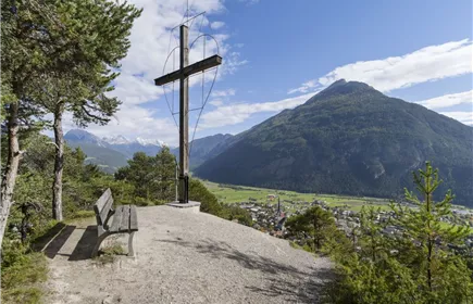
Past the parish church up the steep Mils-Bergsteig trail. If there is still room to breathe, enjoy the sensational view into the Inn Valley. The forest trail continues past the game feeding area to the Imst district of Gunglgrün and the Maria Schnee chapel. It's worth taking a look inside the chapel, which is very popular with locals for baptisms and small weddings. Here you follow the asphalt road past the forest playground to Hoch-Imst. From there follow the wild and romantic Rosengarten Gorge to the town centre of Imst.
Best Season
Jan
Feb
Mar
Apr
May
Jun
Jul
Aug
Sep
Oct
Nov
Dec
Elevation Profile & Characteristics
Skill Level
Endurance
Amenities & Features
Family hike