Fließ - Bannholz - Gogles Alm
Hiking & mountain tour
Hut & alpine pasture hiking
Leisure and Recreational Hiking
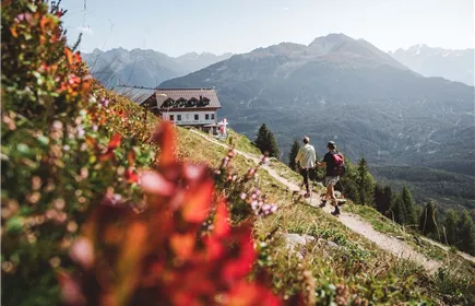
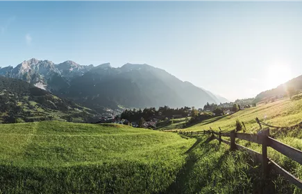
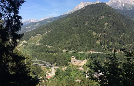
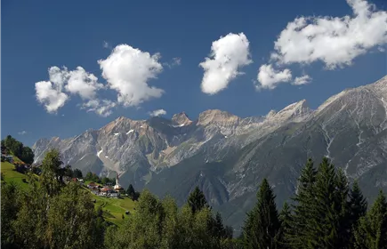
The hike leads from Fließ via the Venet Süd valley station up to the Gogles Alm and offers a magnificent view of the mountain world of the Kaunergrat Nature Park.
Medium
6,90 km
944 m
06:45 h
Medium
Route
6,90 km
944 m
06:45 h
2017 m
Starting Point
Fließ
End Point
Gogles Alm
Description
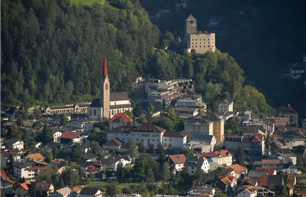
From the village centre of Fließ, you hike along the road via Spils and Bannholz to the Venet Süd valley station. Past the Venet Süd valley station, the trail leads uphill to the Gogles Alm. The beautiful view from the Gogles Alm makes up for the effort of the hike.
Best Season
Jan
Feb
Mar
Apr
May
Jun
Jul
Aug
Sep
Oct
Nov
Dec
Elevation Profile & Characteristics
Skill Level
Endurance
Path Conditions
Asphalt, forest road, trail
Public Transport
From the Landeck-Zams train station, take Line 240 to Fließ. Please check the SCHEDULE.
Parking
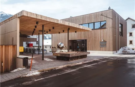
All the way to the parking garage at the Fließ Community Center.
Community Center Fließ Parking Garage