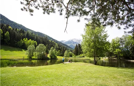
Grins - Dawin
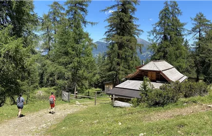
Below the hamlet of Gmar, the tour leads through forest and over meadow slopes up to Dawin.
Medium
4,60 km
1197 m
02:30 h
Medium
Route
4,60 km
1197 m
02:30 h
2016 m
Starting Point
Grins-Gamr
End Point
Dawin
Description
A nice tour rewarded by a magnificent view of the surrounding mountains.
Elevation Profile & Characteristics
Amenities & Features
Exposure
SO
Parking
Länge: 4647 m
Höhenmeter Auf: 1197 m
Höhenmeter Ab: 312 m
Tiefster Punkt: 1110 m
Höchster Punkt: 2016 m
Höhenmeter Auf: 1197 m
Höhenmeter Ab: 312 m
Tiefster Punkt: 1110 m
Höchster Punkt: 2016 m