Hochgallmigg - Landecker Schihütte - Thialkopf
Alpine Hiking
Hiking & mountain tour
Summit tour
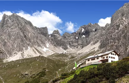
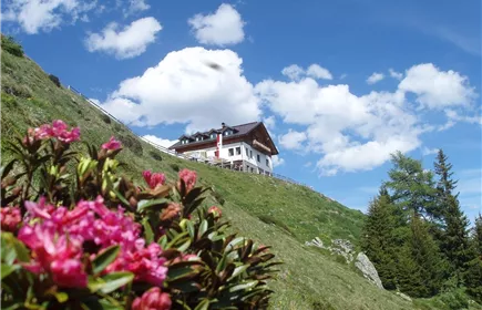
Beautiful hike from Hochgallmigg to the Landecker ski hut and from there on to the Thialkopf.
Medium
14,20 km
1155 m
08:00 h
Medium
Route
14,20 km
1155 m
1070 m
08:00 h
2398 m
Starting Point
Hochgallmigg Stadelesegg
End Point
Hochgallmigg Stadelesegg
Description
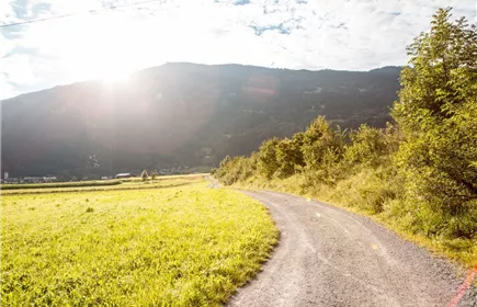
From the "Stadelesegg" car park, you first walk along the forest path for a while until you take the path to the right to the Landecker ski hut after approx. 1 km.
From the Landecker Schihütte, walk back along the same path and then turn left uphill to the Rauhköpfli and the Thialkopf, which you reach after 3 hours.
Best Season
Jan
Feb
Mar
Apr
May
Jun
Jul
Aug
Sep
Oct
Nov
Dec
Elevation Profile & Characteristics
Skill Level
Endurance
Parking
All the way to the Stadelesegg parking lot; day passes are available at the Fließ municipal information office
Stadelesegg parking lot; day passes are available at the Fließ municipal information office
Stadelesegg parking lot; day passes are available at the Fließ municipal information office