Harbe circular trail
Family Hiking
Leisure and Recreational Hiking
Medium
6,20 km
120 m
02:00 h
Medium
Route
6,20 km
120 m
02:00 h
1685 m
Starting Point
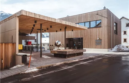
Naturparkhaus Kaunergrat
End Point
Naturparkhaus Kaunergrat
Description
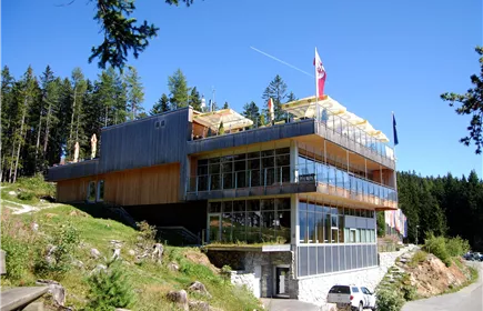
You start your tour at the Kaunergrat nature park house. The path leads you along forest paths to the Harbe pond and back to the nature park house.
TIP:
After around half the tour, a trail branches off with the signs “Aifner Alm“ (1,980 m). This beautifully situated mountain pasture can be reached from the junction in approx. 2.2 km (300 HM).
Best Season
Jan
Feb
Mar
Apr
May
Jun
Jul
Aug
Sep
Oct
Nov
Dec
Elevation Profile & Characteristics
Skill Level
Endurance
Amenities & Features
Circular hike
Path Conditions
Public Transport
From the Landeck-Zams train station, take Line 240 to Fließ (Naturparkhaus stop). Please check the SCHEDULE.
Parking
All the way to the parking lot at the Kaunergrat Nature Park Visitor Center.
Parking lot at the Kaunergrat Nature Park Visitor Center