Hochgallmigg - Thialkopf
Alpine Hiking
Hiking & mountain tour
Summit tour
From Hochgallmigg through the Urgtal valley up to the Thialkopf. The trail leads back down to Hochgallmigg via the Grametsee lake.
Medium
13,50 km
1146 m
07:30 h
Medium
Route
13,50 km
1146 m
1145 m
07:30 h
2395 m
Starting Point
Hochgallmigg - Stadelesegg
End Point
Hochgallmigg - Stadelesegg
Description
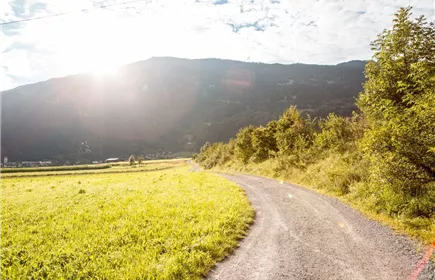
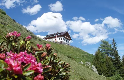
From the ‘Stadelesegg’ car park, initially follow the road to the forest path. After approx. 600 metres, turn right onto a path and follow the signs for ‘Landecker Schihütte’ (approx. 2.5 km). Shortly before the Landecker Schihütte, turn right towards ‘Thialkopf’ - first across meadows, then on a path, sometimes steeply uphill to the Rauhköpfli (2,169 m) and on to the Thialkopf (2,398 m). At the summit, you can enjoy a fantastic view of the Landeck valley basin, the Lechtal and Ötztal Alps and the Kaunergrat Nature Park.
Best Season
Jan
Feb
Mar
Apr
May
Jun
Jul
Aug
Sep
Oct
Nov
Dec
Elevation Profile & Characteristics
Skill Level
Endurance
Amenities & Features
Circular hike
Path Conditions
Asphalt, forest road, steep path
Parking
All the way to the Stadelesegg parking lot; day passes are available at the Fließ municipal information office
Stadelesegg parking lot; day passes are available at the Fließ municipal information office
Impressions