Krahberg - Glanderspitze
Alpine Hiking
Hiking & mountain tour
Leisure and Recreational Hiking
This hike leads from the mountain station of the Venetbahn cable car on the Krahberg 2,208 m to the Glanderspitze 2,505 m. The return journey follows the same route.
Medium
3,00 km
402 m
03:00 h
Medium
Route
3,00 km
402 m
03:00 h
2505 m
Starting Point
Venetbahn Mountain Station
End Point
Glanderspitze
Important Information
The Krahberg can be reached via the Venet Cable Car.
Description
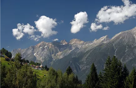
The magnificent view and the summit experience of the 2,505 m high Glanderspitze are at the centre of this hike with cable car support.
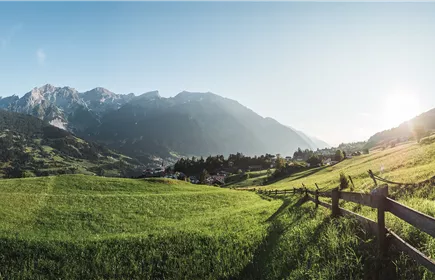
You take the Venet cable car up to the Krahberg. From the mountain station, you hike across meadows and alpine pastures in an easterly direction on a path to the summit cross. The last section leads over a meadow ridge and through scree.
The way back is along the same route to the mountain station.
You take the Venet cable car up to the Krahberg. From the mountain station, you hike across meadows and alpine pastures in an easterly direction on a path to the summit cross. The last section leads over a meadow ridge and through scree.
The way back is along the same route to the mountain station.
Best Season
Jan
Feb
Mar
Apr
May
Jun
Jul
Aug
Sep
Oct
Nov
Dec
Elevation Profile & Characteristics
Skill Level
Endurance
Path Conditions
Alpine and Meadow Trails