Krahberg - Gogles Alm - Zammer Alm | 6a
Hiking & mountain tour
Hut & alpine pasture hiking
Leisure and Recreational Hiking
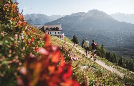
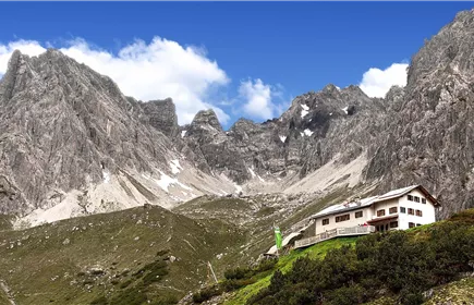
This hike circles the Krahberg and leads via the Gogles Alm and the south side of the Krahberg to the mountain station of the Rifenal cable car.
Medium
9,70 km
180 m
03:15 h
Medium
Route
9,70 km
180 m
600 m
03:15 h
2208 m
Starting Point
Venetbahn Mountain Station
End Point
Rifenalbahn Mountain Station
Description
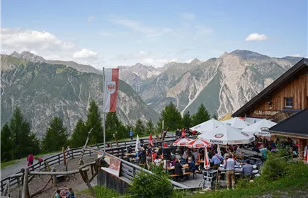
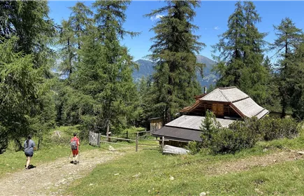
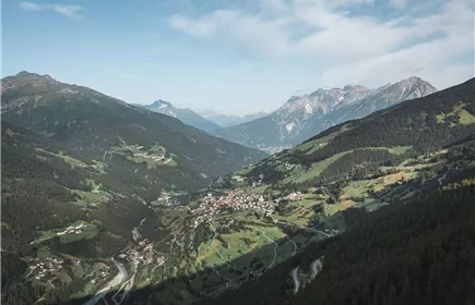
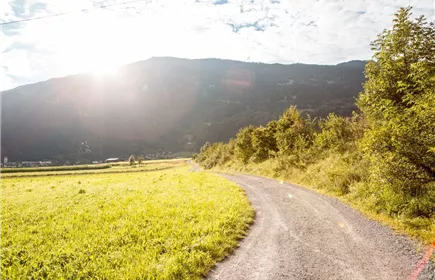
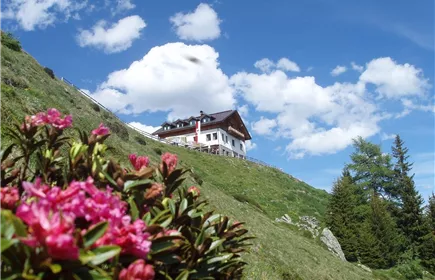
From the mountain station of the Venetbahn cable car on the Krahberg, take the alternative route of the E5 to the Gogles Alm. From the Gogles Alm, first follow the forest road towards Fließ and then branch off onto the path to the south side of the Krahberg. Once on the forest road, follow it to the junction towards Zammer Alm - Schihütte Zams. Following the signs, you reach the mountain station of the Rifenal cable car, the Zams ski hut and the Zammer Alm.
Best Season
Jan
Feb
Mar
Apr
May
Jun
Jul
Aug
Sep
Oct
Nov
Dec
Elevation Profile & Characteristics
Skill Level
Endurance
Amenities & Features
Circular hike
Path Conditions
climb, forest path