Landeck - Fließ | Via Claudia Augusta
Leisure and Recreational Hiking
A hike from Landeck Castle along the historic Via Claudia Augusta to Fließ. Return either on foot along the same route or by public bus.
Medium
12,00 km
322 m
03:45 h
Medium
Route
12,00 km
322 m
03:45 h
1071 m
Starting Point
Landeck Parish Church
End Point
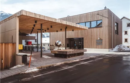
Via Claudia Augusta Documentation Center
Description
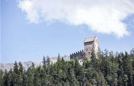
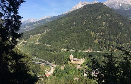
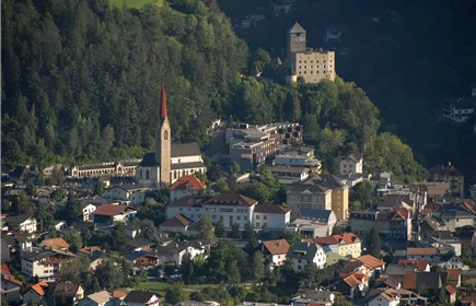
Starting at the parish church Landeck you hike up to Landeck Castle. You can follow the signs “Via Claudia Augusta“ or “Fließ“ and either take the forest path or use the shortcut taking the old Roman road up to Fließer Platte. From there it’s just a short hike to the Fließer Sonnenhänge. Walk along these slopes until you see the twin towers of the Barbara church and get to Fließ. You can get back to your starting point taking the same path.
Best Season
Jan
Feb
Mar
Apr
May
Jun
Jul
Aug
Sep
Oct
Nov
Dec
Elevation Profile & Characteristics
Skill Level
Endurance
Path Conditions
driveway, forest path, steep path, meadow path
Public Transport
From the Landeck-Zams train station, take any VVT bus to the city center. From there, it’s about a 15–20-minute walk to the church, or you can take bus line 2 (Kirche stop). Check the SCHEDULE.
Parking
We recommend using the Landeck multi-day parking lot at Innstraße 44.
From the multi-day parking lot, it takes about 15–20 minutes to walk to Landeck City Church.
Alternatively, you can take bus line 2 from downtown Landeck to the church. Please check the SCHEDULE.
Landeck Long-Term parking lot at 44 Innstraße
Impressions