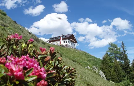
Landeck-Perjen -Schrofenstein ruins
Hiking & mountain tour
Leisure and Recreational Hiking
Medium
2,10 km
295 m
02:15 h
Medium
Route
2,10 km
295 m
02:15 h
1133 m
Starting Point
Burgweg Landeck-Perjen
End Point
Schrofenstein Ruins
Description
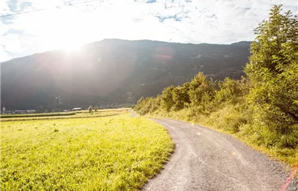
The starting point is the center of Perjen. Follow the Burgweg until you turn left into the Sonnenweg. Follow this path for about 350 m until a path turns off to the right and leads steeply uphill in the direction of the Schrofenstein ruins. Follow this path for about 300 m until you reach the junction Stanz and Ruin Schrofenstein. From there, continue uphill to the right for about 700 m until you reach the forest road. Follow the forest road to the lookout point (250 m) to the Schrofenstein ruins.
Best Season
Jan
Feb
Mar
Apr
May
Jun
Jul
Aug
Sep
Oct
Nov
Dec
Elevation Profile & Characteristics
Skill Level
Endurance
Public Transport
To the Landeck-Zams train station. From there, walk to the starting point in Perjen.