Naturparkhaus Kaunergrat - Aifner Alm - Hoher Aifner

Alpine Hiking

Hiking & mountain tour

Summit tour

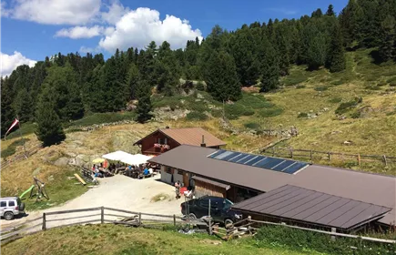
From the Nature Park House, it is a leisurely 2-hour hike to the Aifner Alm (1,980 m). The hike from the Aifner Alm to the Hoher Aifner (2,780 m) is more challenging and takes around 3 hours.

Medium

8,10 km

1187 m

08:30 h

Medium

Route

8,10 km

1187 m

08:30 h

2780 m

Starting Point

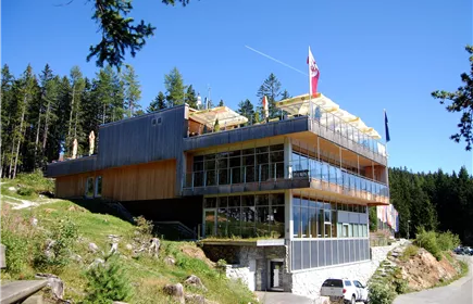
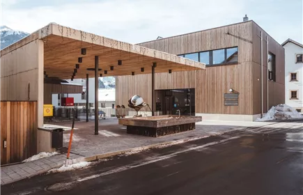
Naturparkhaus Kaunergrat

End Point

Hoher Aifner

Description

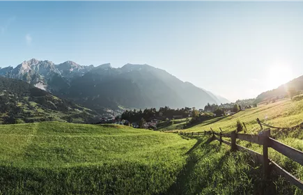
The hike starts at the car park of the nature park house. Follow the signs through the scenic Harbe meadows to the Aifner Alm (1,980 m). From the Alm, a path leads up to the Aifner Spitze (2,558 m) and on to the Hohe Aifner Spitze (2,780 m). The return journey follows the same route.

Best Season

Jan

Feb

Mar

Apr

May

Jun

Jul

Aug

Sep

Oct

Nov

Dec

Elevation Profile & Characteristics

Skill Level

Endurance

Path Conditions
Forest roads, forest paths, paved trails
Public Transport
Parking

Refreshments & infrastructure

Aifner Alm_003_Gapp Rupert.jpg+43 676 5602239

Mountain hut

Mountain pasture in the area

Fließ

Aifner Alm (1.980m)
Naturparkhaus Kaunergrat 01+43.5449.6304

+6

Fließ

Nature Park House Kaunergrat

Closed - opens on 12/25, 10:00 AM

Parkplatz-Piktogramm_600x400+43 5449 5234
Naturparkhaus Kaunergrat 01+43 5412 20160

Restaurant

Fließ

Restaurant Gachenblick

Closed - opens on 12/25, 10:30 AM

Similar Tours

Kronburg ruins_008_Zangerl Daniel1.jpg
Zams - Kronburg

8,50 km

02:45 h

974 m

264 m

Medium

Tobadill_015_2.JPG
Gondawald-trail Tobadill

5,00 km

01:45 h

1149 m

179 m

178 m

Medium

TO-WW22_Burgfried-Badstube (28)
Schlosswald-trail Tobadill

2,60 km

01:30 h

1070 m

165 m

Medium

Fließ Post Office and Local Authority Office
Fließ - Kaunergrat Nature Park House

3,60 km

03:45 h

1574 m

507 m

Medium

Landeck
Sonnenweg Bruggen-Perjen

6,00 km

02:00 h

859 m

159 m

155 m

Medium

Hochgallmigg
Urgen - Zöbele - Hochgallmigg - Urgen

9,60 km

04:30 h

1416 m

593 m

Medium