Talkessel-trail Landeck
Leisure and Recreational Hiking
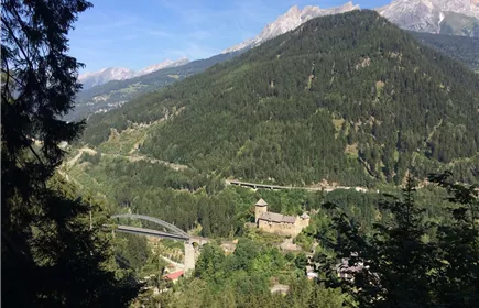
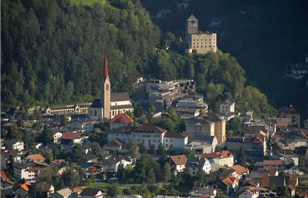
Tour around the valley basin of Landeck and Zams with wonderful impressions and views.
Medium
12,40 km
219 m
03:45 h
Medium
Route
12,40 km
219 m
216 m
03:45 h
859 m
Starting Point
Landeck parish church
End Point
Landeck parish church
Description
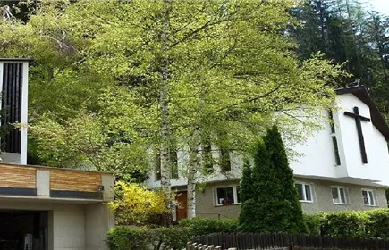
Starting at the parish church in Landeck, follow the signs “Zams” towards the Lutheran Markus church. Then follow the path that’s behind the Pontlatz barracks and the recycling facility Landeck until Zams Oberengereweg. Keep left on the road taking you down to the fountain at the old railroad line. Then take the sidewalk on the right until you get to the hospital in Zams.
At the hospital follow the path on the left towards the parking lot, then cross the bridge and immediately turn left onto the trail heading west. After about 500 m you’ll see the signs “Jakobsweg“ at the pedestrian bridge. Take this path for about 1.5 km and then turn left onto the “Sonnenweg“ right before you’d get to Landeck-Perjen. After another 3.5 km you’ll reach the west entrance of Leitenweg. Stay left and head down towards the highway, which will lead you to the church Bruggen. Cross the highway and stay right towards Tobadill.
Then turn left onto Kreuzgasse, which leads you uphill towards Perfuchs. The road takes you through Perfuchs down to the Gerber bridge. Cross the bridge and keep left towards Landeck-Zentrum. Then cross the highway at the first cross walk and take the Maisengasse uphill. At the parking lof of the music school turn right until you get to the starting point a the parish church in Landeck.
At the hospital follow the path on the left towards the parking lot, then cross the bridge and immediately turn left onto the trail heading west. After about 500 m you’ll see the signs “Jakobsweg“ at the pedestrian bridge. Take this path for about 1.5 km and then turn left onto the “Sonnenweg“ right before you’d get to Landeck-Perjen. After another 3.5 km you’ll reach the west entrance of Leitenweg. Stay left and head down towards the highway, which will lead you to the church Bruggen. Cross the highway and stay right towards Tobadill.
Then turn left onto Kreuzgasse, which leads you uphill towards Perfuchs. The road takes you through Perfuchs down to the Gerber bridge. Cross the bridge and keep left towards Landeck-Zentrum. Then cross the highway at the first cross walk and take the Maisengasse uphill. At the parking lof of the music school turn right until you get to the starting point a the parish church in Landeck.
Best Season
Jan
Feb
Mar
Apr
May
Jun
Jul
Aug
Sep
Oct
Nov
Dec
Elevation Profile & Characteristics
Skill Level
Endurance
Amenities & Features
Family hike
Circular hike
Path Conditions
Asphalt, steep path, forest path
Public Transport
From the Landeck-Zams train station, take any VVT bus to the city center. From there, it’s about a 15–20-minute walk to the church, or you can take bus line 2 (Kirche stop). Check the SCHEDULE.
Parking
We recommend using the Landeck multi-day parking lot at Innstraße 44.
From the multi-day parking lot, it takes about 15–20 minutes to walk to Landeck City Church.
Alternatively, you can take bus line 2 from downtown Landeck to the church. Please check the SCHEDULE.
Landeck Long-Term parking lot at 44 Innstraße
Impressions