Trams round
Family Hiking
Leisure and Recreational Hiking
Nordic walking
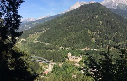
This circular route leads along the former railway line - now an avenue of Japanese blood plums - to Anreit and soon joins a beautiful hiking trail to the Trams recreation area and the idyllic Trams pond. Well-maintained forest paths lead back to the starting point.
Medium
8,50 km
200 m
02:30 h
Medium
Route
8,50 km
200 m
02:30 h
998 m
Starting Point
Venetbahn Valley Station
End Point
Venetbahn Valley Station
Description
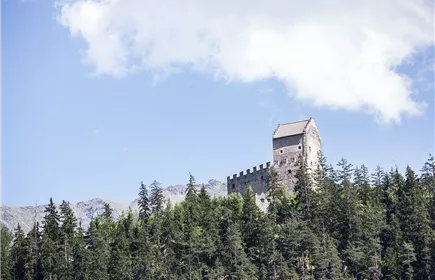
The circular trail starts at the Venetbahn, first follows the old railway line and then branches off towards Kronburg. From there, a fairly steep forest path leads to Anreit. After the junction with the road, the Hermann Hammerlweg branches off, which leads in beautiful hairpin bends to the Tramser Weiher pond. From there, a narrow forest path follows the signs back down into the valley to the barracks and finally along the edge of the forest back to the starting point.
TIP: At Tramser Weiher you can relax and refresh yourself in the natural swimming pond.
TIP: At Tramser Weiher you can relax and refresh yourself in the natural swimming pond.
Best Season
Jan
Feb
Mar
Apr
May
Jun
Jul
Aug
Sep
Oct
Nov
Dec
Elevation Profile & Characteristics
Skill Level
Endurance
Amenities & Features
Circular hike
Path Conditions
Waldweg, Asphalt, Schotter
Parking
All the way to the parking lot at Tramser Weiher
Parking lot at Tramser Weiher