Venet circular hiking trail

Alpine Hiking

Hiking & mountain tour

Hut & alpine pasture hiking

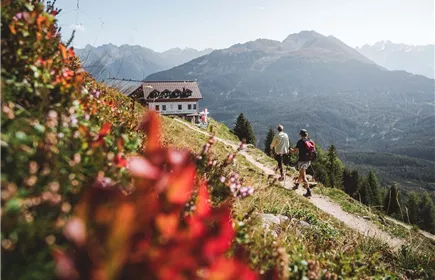
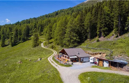
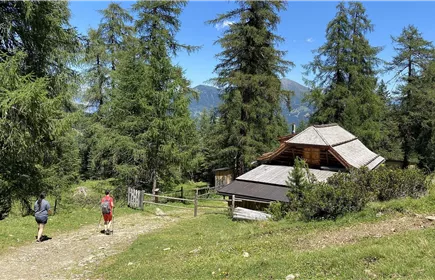
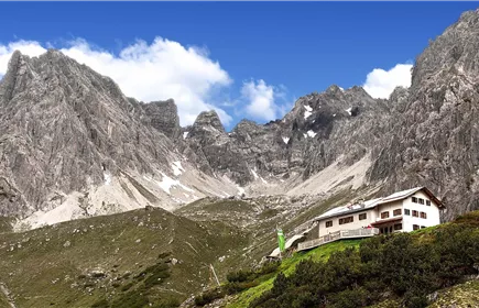
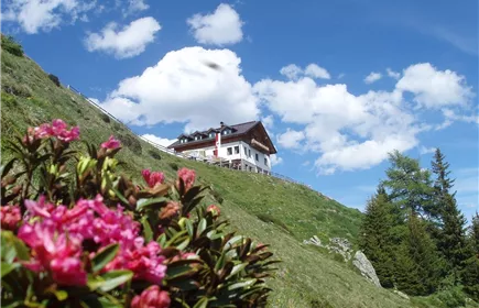
The breathtaking views and the summit experience on the 2,512 metre-high Glanderspitze, as well as the culinary delights when stopping off at one of the rustic mountain huts (Imsterberger Venetalm, Larcher Alm and Gogles Alm) make this circular hike an unforgettable experience.

Medium

17,60 km

1202 m

07:30 h

Medium

Route

17,60 km

1202 m

07:30 h

2512 m

Starting Point

Venetbahn Mountain Station

End Point

Venetbahn Mountain Station

Description

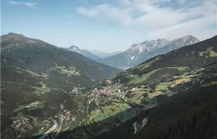
From the top station of the Venet cable car (2,212 m) you hike approx. 3.0 km up to the Glanderspitze (2,512 m). After a short rest and a unique panoramic view of the impressive mountains, you follow the signs to the Wannejoch (2,495 m), Kreuzjoch (2,432 m) and Imsterbergjoch (2,202 m) and reach the Imsterberger Venetalm (1,980 m) after approx. 4.5 km. The well marked trail leads you over the slopes of the Kaunergrat Nature Park for approx. 9 km, past the Larcher Alm (1,814 m), Galflun Alm (1,961 m) and the Gogles Alm (2,017 m) back to the mountain station of the Venet Bahn.

Best Season

Jan

Feb

Mar

Apr

May

Jun

Jul

Aug

Sep

Oct

Nov

Dec

Elevation Profile & Characteristics

Skill Level

Endurance

Amenities & Features

Circular hike

Path Conditions
Alpine and meadow trails

Refreshments & infrastructure

DJI_0038.jpg+43 664 4636207

Huts / Mountain Restaurants in the area

Huts in the Area

Wenns

Larcher Alm (1.814m)

Closed

Panoramarestaurant+43 5442 62663

Mountain hut

Fließ

Venet Panoramarestaurant

Closed - opens on 12/18, 10:00 AM

Similar Tours

landecker_schihuette.jpg
Hochgallmigg - Landecker Schihütte - Thialkopf

14,20 km

08:00 h

2398 m

1155 m

1070 m

Medium

Tramser Weiher_010
Landeck - Venetbahn Bergstation

10,90 km

10:00 h

2208 m

1393 m

Medium

Steinseehütte_001_Stadlwieser Rudolf_korrRJG.jpg
tirolwest_ebike_genusswandern_300_dpi_web (1 von 001).jpg
Dorfrundgang Zams

5,00 km

01:15 h

775 m

10 m

P6140143.JPG
Krahberg - Glanderspitze - Gogles Alm

9,50 km

04:15 h

2505 m

545 m

535 m

Medium