Zammer Alm - Krahberg - Glanderspitze
Alpine Hiking
Hiking & mountain tour
Leisure and Recreational Hiking
Summit tour
Medium
5,80 km
775 m
03:30 h
Medium
Route
5,80 km
775 m
46 m
03:30 h
2505 m
Starting Point
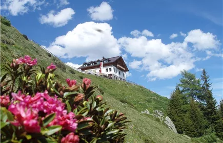
Zammer Alm
End Point
Glanderspitze
Description
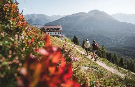
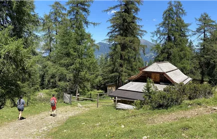
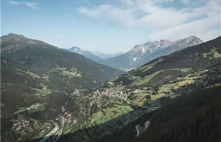
The hike begins at Zammer Alm and follows an uphill trail through the alpine landscape of the Venet mountain area towards Krahberg. As you gain altitude, beautiful views open up across the surrounding valleys and mountain ranges.
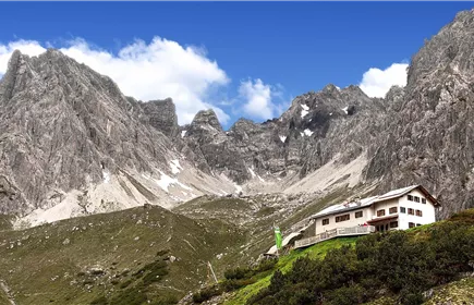
From Krahberg, the route continues eastwards towards Glanderspitze, the highest peak of the Venet massif. The trail crosses open alpine meadows before the final ascent leads over a grassy ridge and rocky terrain to the summit. At around 2,500 metres, you are rewarded with panoramic views of the Tyrolean Alps.
This mountain hike is suitable for experienced hikers with good fitness and sure-footedness. Sturdy hiking boots and appropriate mountain hiking experience are recommended.
Best Season
Jan
Feb
Mar
Apr
May
Jun
Jul
Aug
Sep
Oct
Nov
Dec
Elevation Profile & Characteristics
Skill Level
Endurance